Welcome
Welcome to Montgomeryshire Wildlife Trust’s Canal Safari app, a tool to help you learn more about the wildlife of the Montgomery Canal in Wales.
This free bilingual App will enhance a walk along the waterway by notifying you of points of interest and wildlife to look out for while you use its interactive map.
It also has stunning photography and useful information on many of the different species of birds, mammals, insects, fish, reptiles and plants you could see along the canal, helping you to spot, identify and find out more about what you see.
Canal Safari has a recording facility, which enables users to easily record sightings of rarer or more exciting species. These will go straight into a national database, allowing app users to directly aid conservation by boosting knowledge on wildlife distribution, numbers and populations.
If that wasn’t enough, you can use the App to take photos of what you see and then share them straight to Facebook and Instagram, with a pre-copied message you can paste and edit. Families, meanwhile, can do the Montgomery Canal-themed wildlife quizzes to build on what children have learned.
Then on your ‘Account’ page you can find out how many times you’ve visited the Montgomery Canal, how many miles you’ve walked during your visit, your quiz scores and how many species you’ve recorded.
If you enjoy using this App, why not invite friends and family to also download and use it with you?
How to use Canal Safari
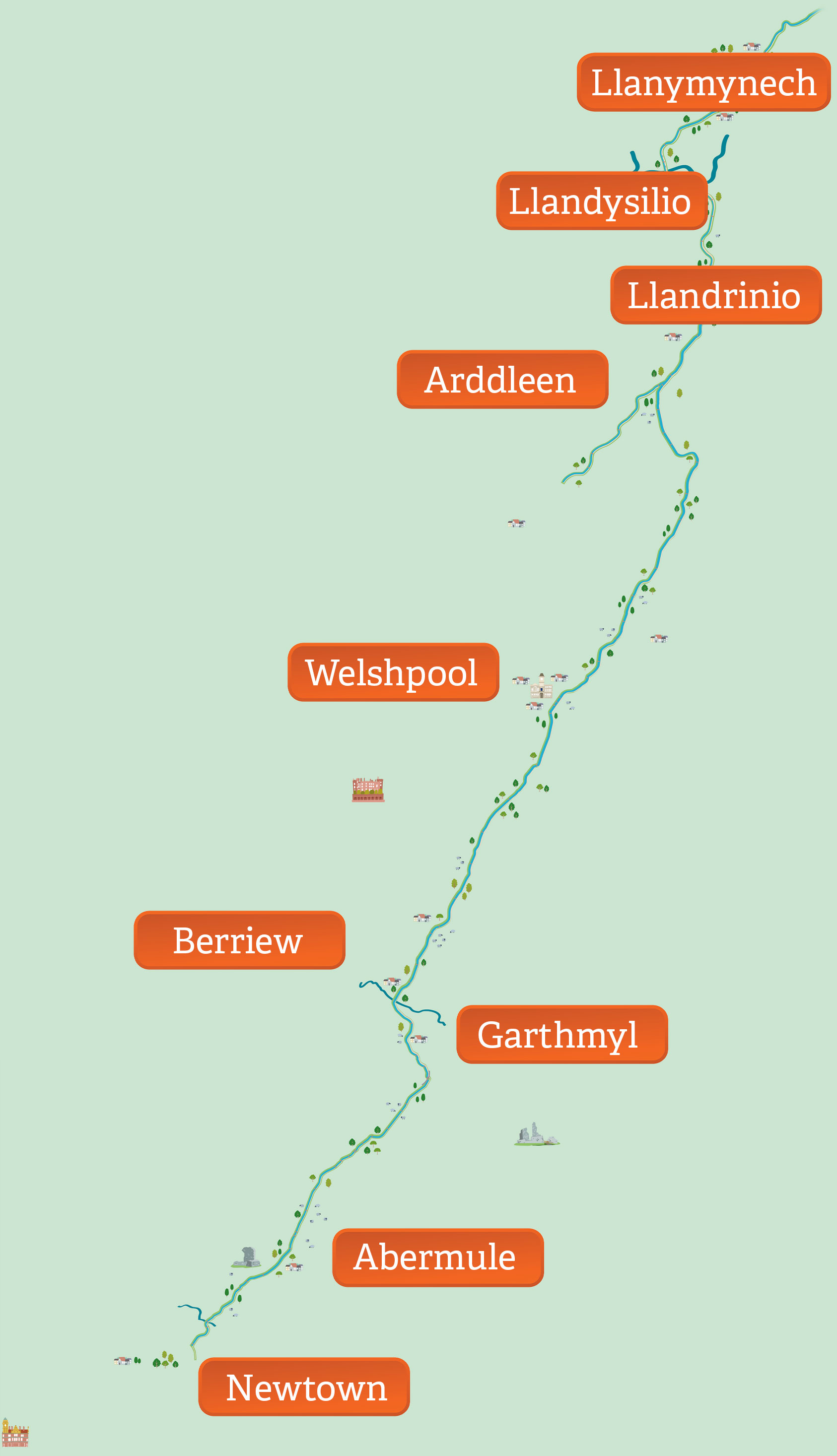
First, choose your language – Welsh or English – and then get started. The app will show you some good access points, complete with directions, onto the Montgomery Canal, some with parking, others for pedestrians or cyclists, which will help you plan your visits.
Once you’re on the towpath, wherever you decide to join it, Canal Safari will use GPS to show you your location. Just click Start to begin exploring. As you walk, your location pin will move, enabling you to see what’s around you, both along the canal and in the area surrounding it, from local villages and towns to Montgomeryshire Wildlife Trust nature reserves. If you lose yourself, just click on the recentre icon bottom right of your screen.
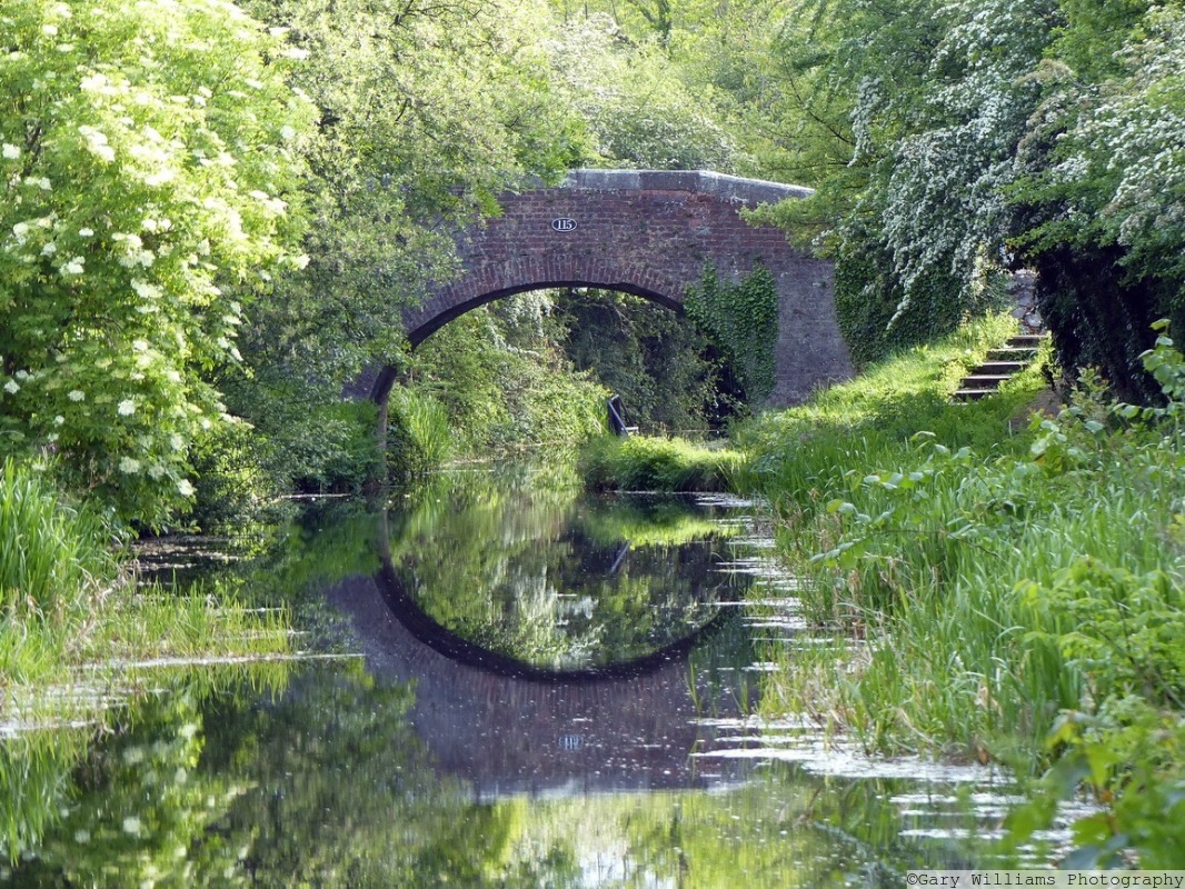
The canal’s numerous numbered bridges are also included on the interactive map, along with its locks, which will help you remember favourite spots and plan return trips.
At any point while exploring, you can toggle between the map and the Species cards and other pages in the menu.
Plan your Canal Safari visit
IMPORTANT – Canal’s Safari’s illustrative map is an aid to help you engage with the wildlife of the Montgomery Canal and is not designed to replace a more detailed Ordnance Survey map. The entire Welsh section of the Montgomery Canal is accessible on foot, and the flat, fairly even, terrain of the towpath makes it perfect for walkers of nearly all abilities, those with prams or buggies and people using wheelchairs. However, there are several road crossings and care should be taking when crossing these to rejoin the towpath.
Canal Safari has been developed by Montgomeryshire Wildlife Trust as part of the Canals, Communities and Wellbeing Project. Led by Powys County Council’s Countryside Access and Recreation Team, this collaborative project involving five partner organisations was designed to develop connections along the two canal corridors within Powys, increasing opportunities for public access and recreation and rural active travel for enhanced wellbeing. This project has received funding through the Welsh Government Rural Communities - Rural Development Programme 2014-2020, which is funded by the European Agricultural Fund for Rural Development and the Welsh Government.